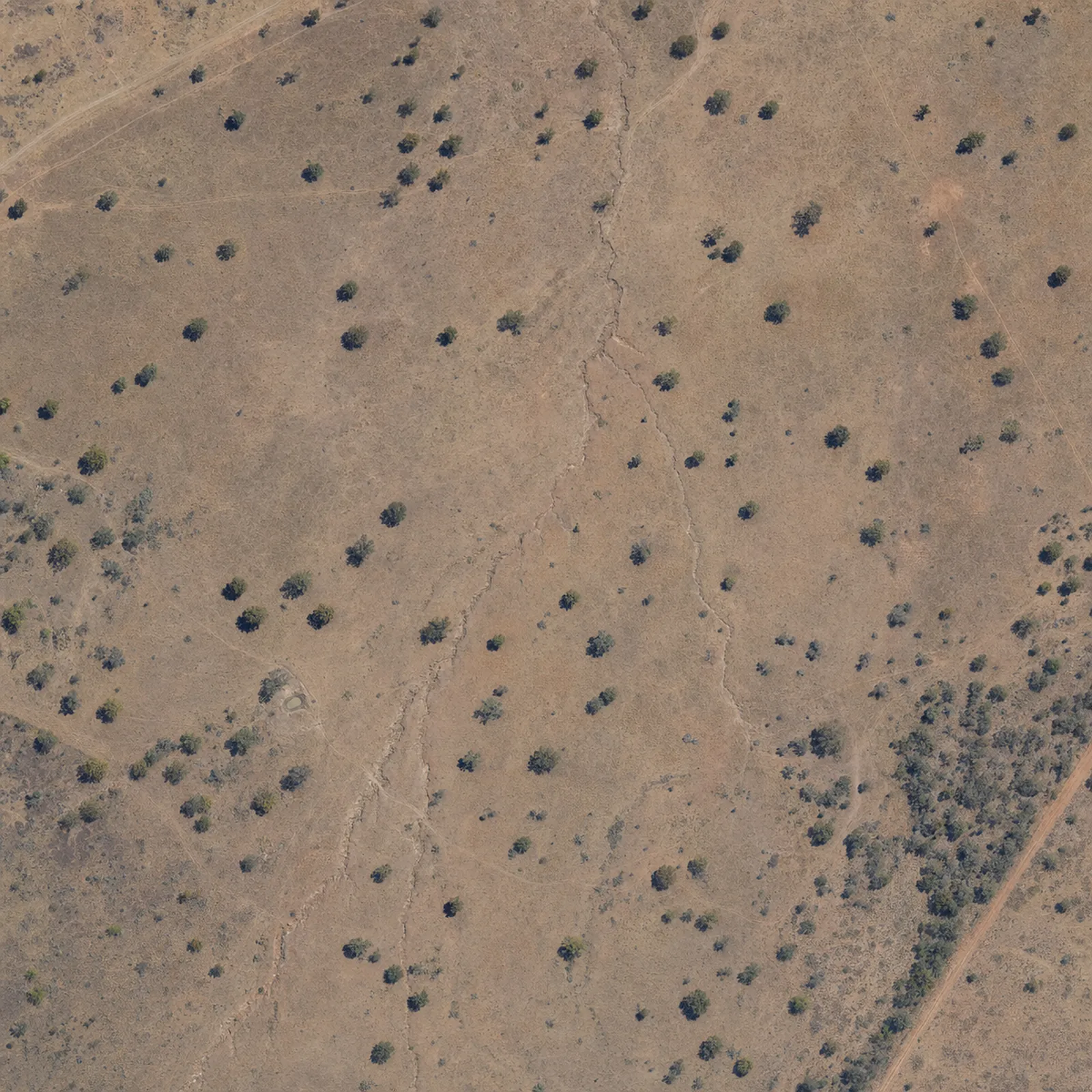
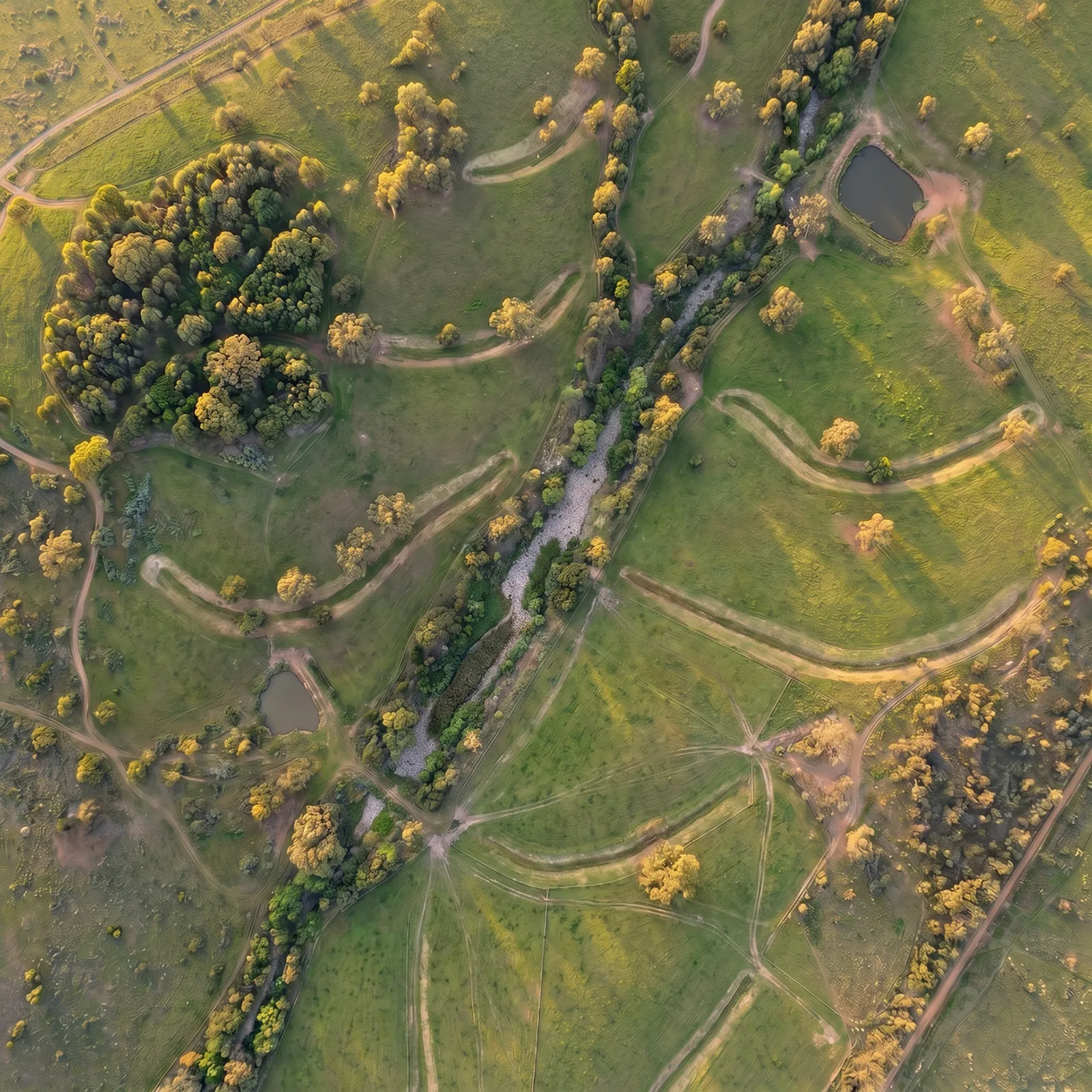
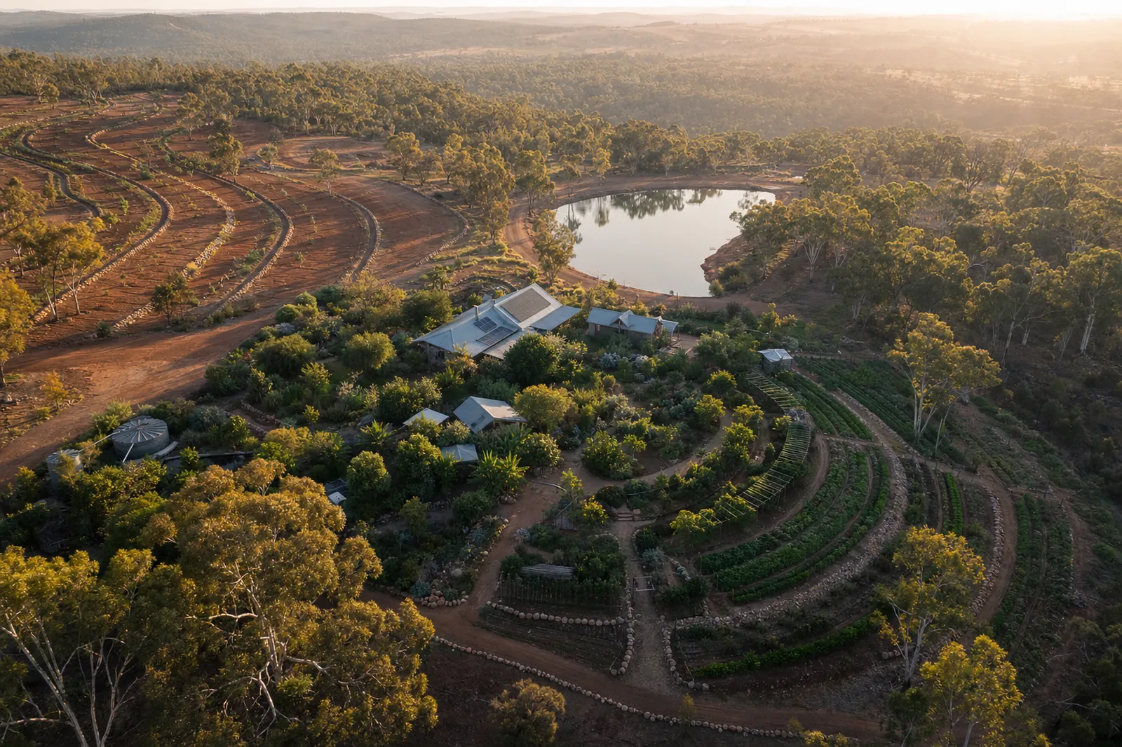
Case study · Flagship product

AgriAutomate: AI-designed regenerative farms, from satellite to soil.

Built end-to-end by Rocky Web Studio for Australian landholders, regen-ag consultants and mine-site rehabilitation teams.

Aerial view of a regenerative Australian property at golden hour — contour swales, dam, food forest and homestead
Live from agriautomate.com.au — Central Queensland reference property

The problem

Regen-ag design is expensive, slow and hard to scale.

A traditional keyline / permaculture plan takes a specialist days on the ground and hundreds of hours in QGIS. For Australia's millions of hectares of degraded pasture and post-mining land, that doesn't scale.

The approach

Terrain, hydrology and an LLM that knows the textbook.

We ingest DEM and rainfall data for any selected parcel, derive flow accumulation and slope, and hand the result to a constrained LLM design pass. The output is a real plan a consultant can refine, not a chatbot answer.

Before / after

See what the engine sees. See what the engine plans.

A degraded grazing block in Central Queensland, and the engine's fifteen-year design — contour swales, sited dams, multi-canopy food forest, riparian buffer, rotational cells.

Degraded grazing block in Central Queensland today — bare soil, eroded contours, no canopy
Today · degraded
The same property after AgriAutomate's fifteen-year regenerative design — swales, dams, food forest, grazing cells
Year 15 · designed
  • 7 swales · 8 dams — sized to catchment
  • 2.4 ha food forest — four canopy layers
  • 5 grazing cells — tied to water access

Architecture

One stack. Boringly modern.

BrowserNext.js + TSServer FunctionsSupabase + RLSGoogle Maps APILLM Design EngineResend EmailPDF / GIS Export

Next.js on Vercel for the front. TanStack-style server functions for typed RPC. Supabase (Postgres + Auth + RLS) for everything stateful. Google Maps + custom raster pipeline for geodata. An LLM design engine wrapped in evals. Resend for transactional email.

Key features

What we shipped.

  • Map parcel selection

    Click any Australian parcel — cadastre, contour and hydrology layers load instantly.

  • AI design synthesis

    Keyline, swale, zone and species plans generated from terrain + climate.

  • AI Chatbot assistant

    Conversational AI that guides landholders through design decisions, species selection and climate adaptation — grounded in real parcel data.

  • PDF + GIS export

    Share-ready PDFs for landholders; GeoJSON / KML for the contractor.

  • Waitlist & accounts

    Production auth, RLS-locked tables, email infrastructure done right.

Outcomes

A specialist workflow, compressed to minutes.

First-pass regen plan generation
Days → minutes
Australian parcel coverage via cadastre
100%
Live waitlist & paid pilot users
Production

Want something like this for your business?

We take on a small number of MVP and AI builds each quarter. If the problem is well-defined and the deadline is real, let's talk.